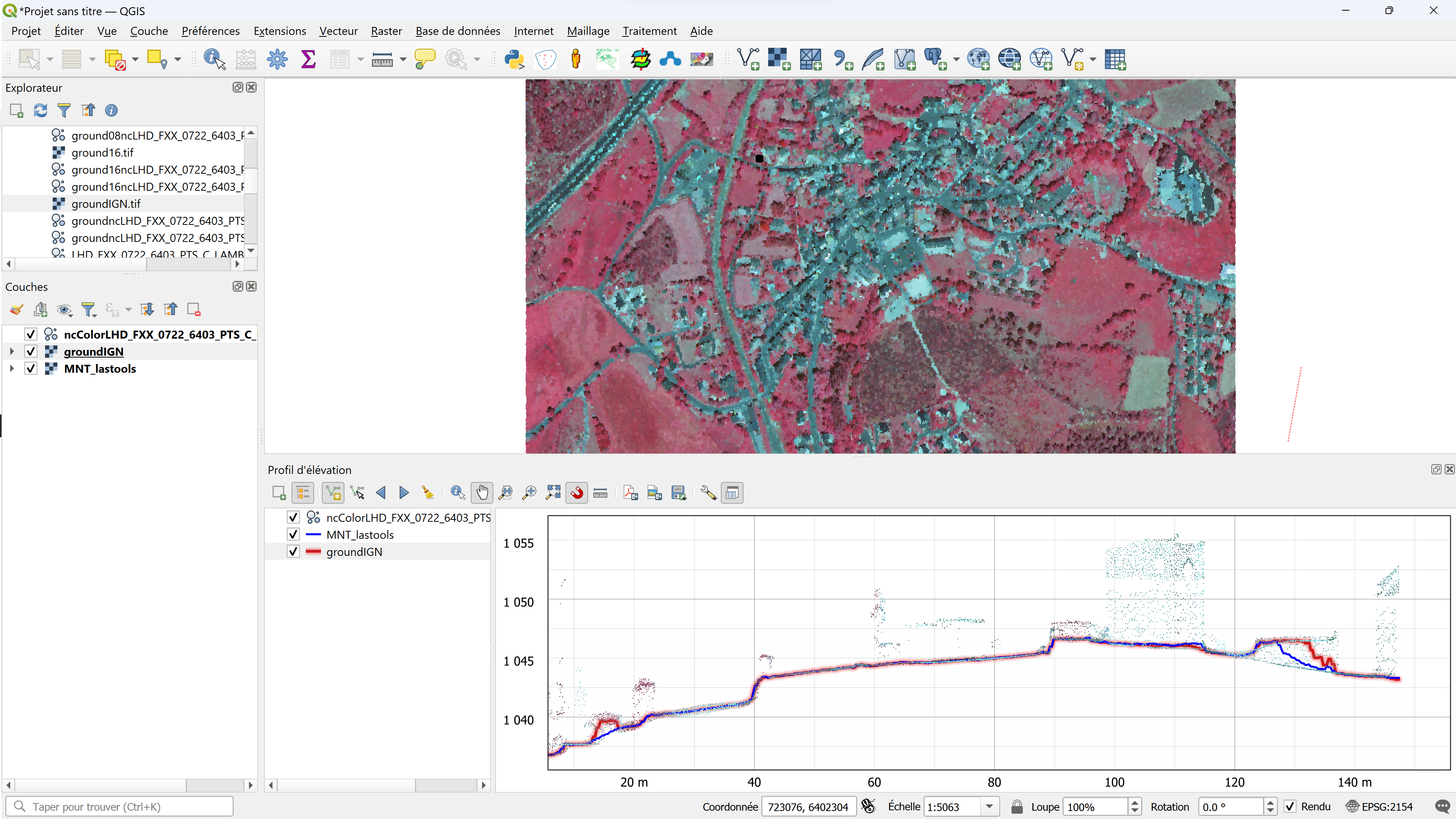
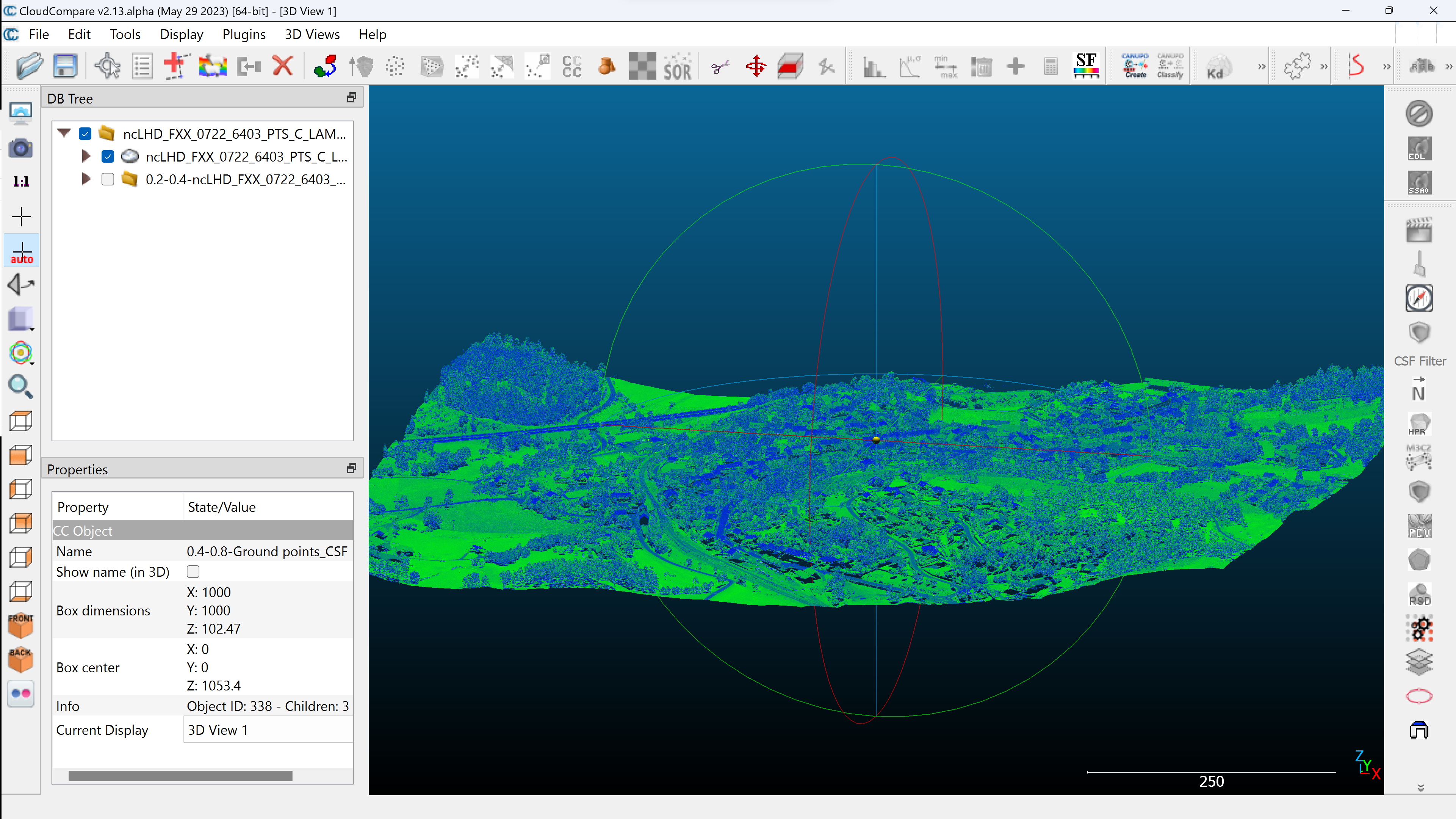
QGis for LIDAR: digital terrain model (DTM) with LAStools.
In this article, you’ll find step-by-step instructions on how to create a DTM from an unclassified and classified LIDAR cloud, using LAStools and QGis. We’ll look at the LASground and LASground_new tools, las2dem and lastile. Tutorial…
Read More

