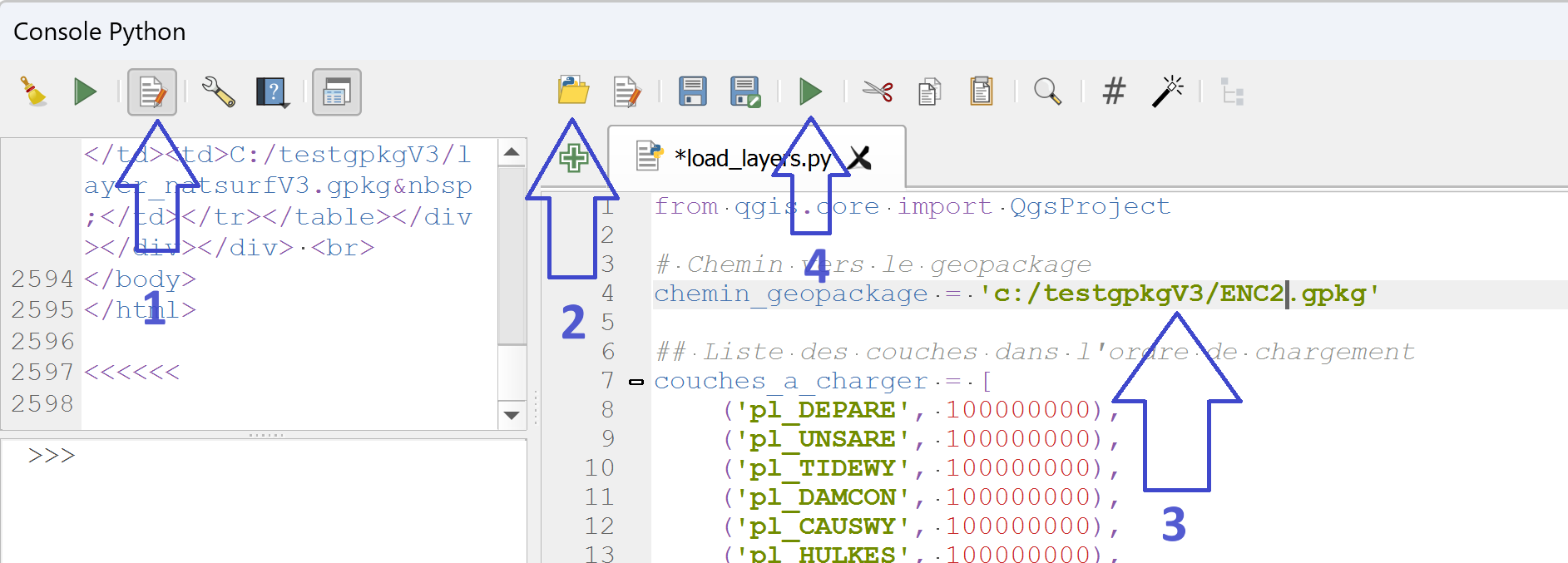
Tools for ENC marine map projects in QGis
This article completes the series of articles on creating a geopackage database to manage ENC nautical charts in QGis and the symbology of the various data layers. Working with a small number of maps presents no…
Read More